Challenges in Evolving Reservoirs: Field Measurements and Numerical Simulation of Sediment Transport in Reservoirs in Glacier Areas
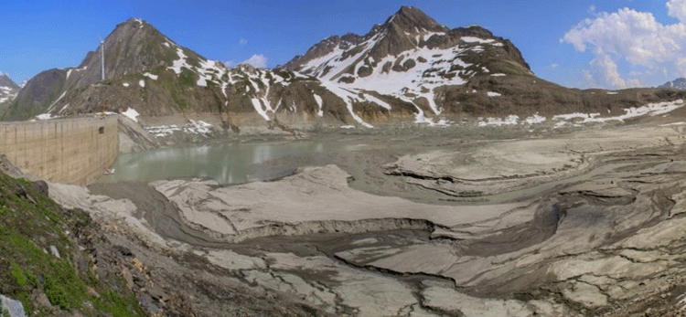
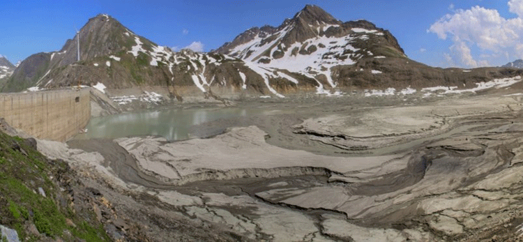
Climate change offers new perspectives for reservoirs close to glacier areas. They will benefit from increased water supply during the next decades. However, these reservoirs will likewise be affected by increased sediment input and consequently have to cope with reservoir sedimentation. The Laboratory of Hydraulics, Hydrology and Glaciology (VAW) at ETH Zurich studied suspended sediment transport processes in three reservoirs in the Swiss Alps. In the second phase of the SCCER-SoE, the software BASEMENT, originally developed to simulate hydro- and morphodynamics in rivers, will be applied to model sedimentation processes in periglacial reservoirs aiming to identify potential counter-measures.
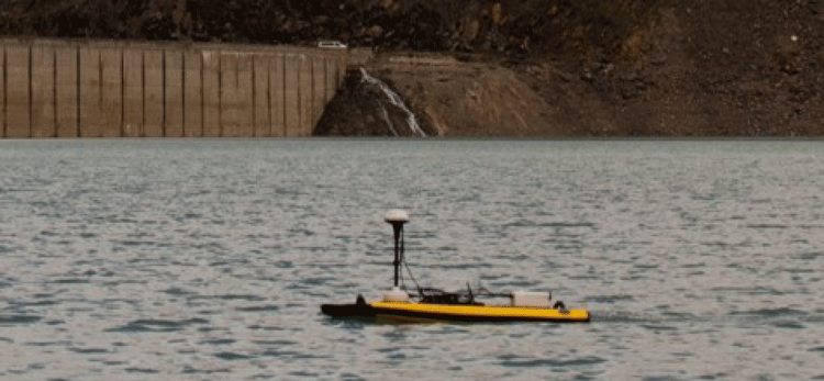
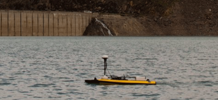
In the three reservoirs studied, at least 40% of their catchment area is covered by glaciers. Three measurement techniques were deployed and compared to assess sediment fluxes at high resolution: a Niskin bottle sampler, a laser in-situ scattering and transmissometry (LISST), and an acoustic Doppler current profiler (ADCP). The suspended sediment concentration and particle size distribution varied only slightly in the reservoirs observed. The major part of the suspended sediments consisted of silt, i.e. had median diameters between 2 and 60 μm. The suspended sediment concentration was on average 80 to 200 mg/l. ADCP provided measurements of flow velocities close to the inflow of the order of 10 cm/s. Signal-to-Noise ratio (SNR) was used as a proxy for suspended sediment concentration profiles.
Currently, the VAW software BASEMENT is applied to model reservoir sedimentation processes. First calculations show promising results regarding the evolution of Gilbert-type deltas, i.e. steep coarse-grained deltas, and the deposition from non-stratified suspended sediment transport. However, BASEMENT has not yet been applied to model lake-like reservoir sedimentation explicitly. Therefore, mathematical models suitable for simulating lake-like reservoir sedimentation will be implemented into BASEMENT. In order to minimize computational costs, one-dimensional model approaches will be applied. Following the proof-to-concept stage, prototype simulations will be realized. To calibrate and validate the models measuring data from field campaigns in 2015 and 2016 will be used (e.g. underwater topography, suspended sediment concentration and particle size distribution). The simulated time frame will be in the order of years. After successful calibration and validation, the models will be run based on climate change scenarios for a longer time frame up to 2100.


